GIS is the connective layer that transforms raw spatial data into actionable intelligence — powering smarter infrastructure management, urban planning and national development decisions.
8 specialized services delivered by a Saudi team with more than 25 years of combined technical expertise for government, semi-government and major national projects.
01
GIS Database Design & Development
Enterprise-grade spatial databases to national and international standards — integrating field surveys, remote sensing, utilities and cadastral records into one query-ready environment.
Enterprise Geodatabase
02
Spatial Analysis & Decision Support
Advanced spatial analysis and modeling for planning, site selection, risk assessment and resource allocation — translated into clear visual outputs and analytical reports.
Spatial Analysis
03
CAD to GIS Conversion
Systematic conversion of engineering drawings and CAD files into intelligent GIS layers — enriched with attributes, topology and spatial referencing for seamless integration.
CAD · GIS
04
Environmental & Land Use Monitoring
Temporal monitoring of land-cover change, vegetation health, hydrology and environmental conditions using satellite imagery, drone data and GIS analytics.
Remote Sensing
05
Utility Network GIS
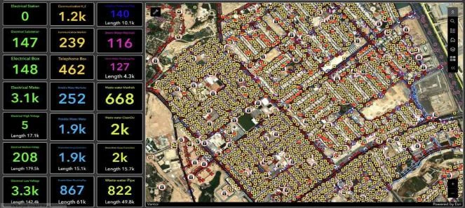
Comprehensive spatial databases for water, electricity, telecom and drainage networks — integrating as-built data, field survey outputs and GPR findings into one platform.
Utility Network
06
GIS Solution Development & Deployment
End-to-end development and deployment of customized GIS applications, dashboards and web-based spatial platforms tailored to client workflows and real-time operations.
Web GIS · Dashboards
07
Data QA/QC & Standardization
Rigorous QA/QC for spatial datasets — accuracy verification, topology checks, attribute validation and metadata compliance across all project stages and handover.
QA/QC · Metadata
08
Knowledge Transfer
Structured knowledge-transfer programs and technical workshops delivered with project handover — building internal GIS capacity in software proficiency, data management and spatial analysis methodologies.
Knowledge Transfer
Our Work
Real footage from our projects
Clips from projects delivered by the Precision Geomatics team across the Kingdom.
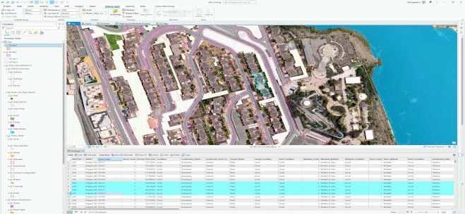
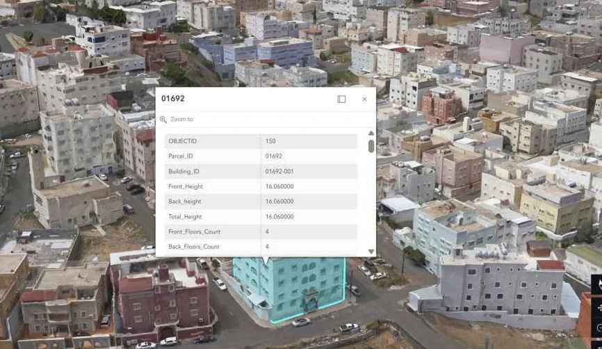
GIS data editingBuilding accurate, connected GIS layers on aerial imagery.Digitizing features from aerial imageryExtracting buildings and features and linking them to attributes.Utility network databaseNetwork layers ready for query and analysis in a GIS platform.
We are committed to understanding your requirements and crafting a tailored solution that aligns with your goals. Enter your details and someone from our team will reach out to find a time to connect with you.