What we deliver in Geophysical & Subsurface Services
6 specialized services delivered by a Saudi team with more than 25 years of combined technical expertise for government, semi-government and major national projects.
Engineering Geophysics
01
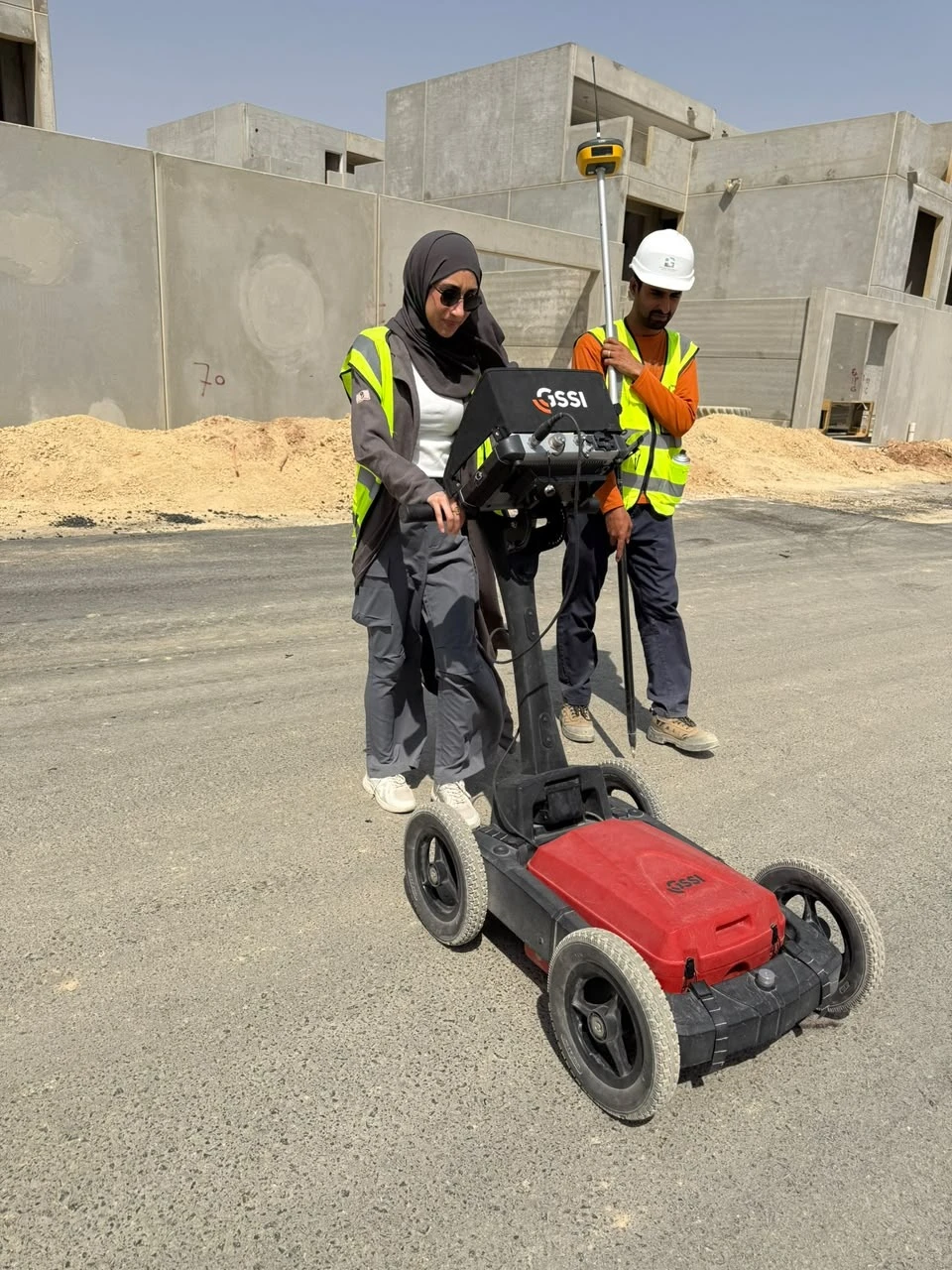
Utility Mapping & Underground Detection
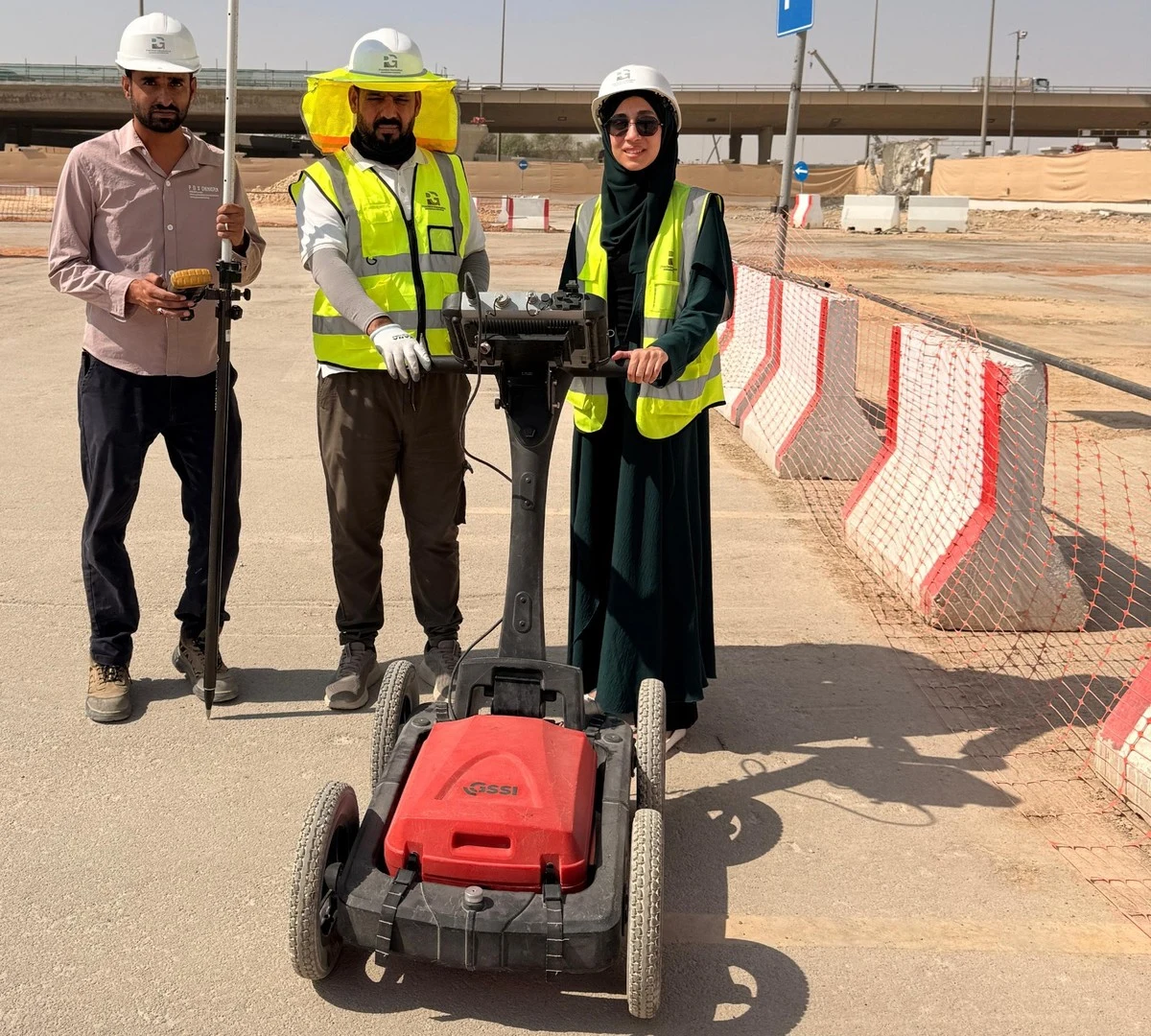
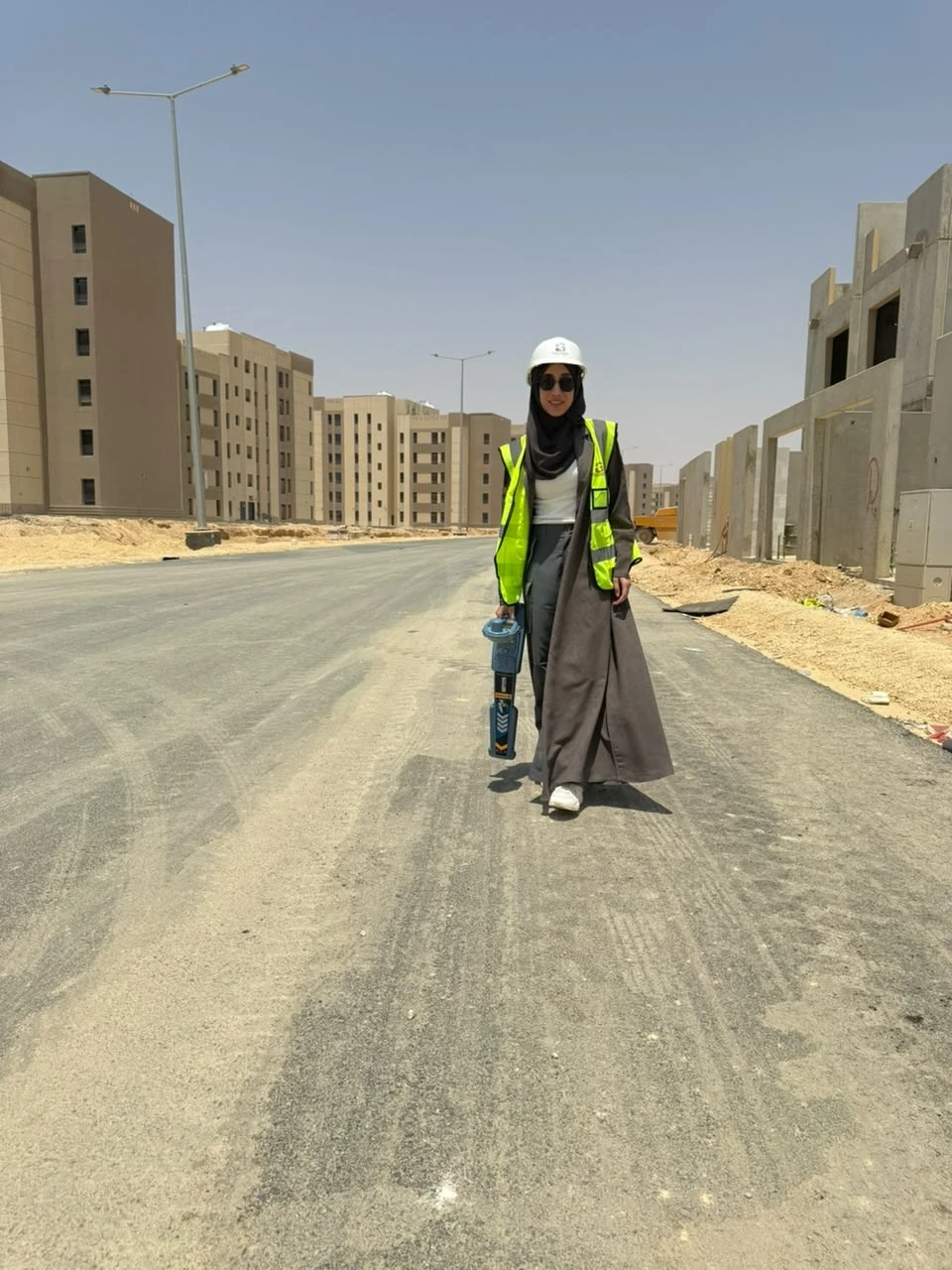
Non-invasive detection and mapping of buried utilities — water, electricity, telecom and drainage — with an integrated multi-technology approach that minimizes excavation risk.
GPR · EML
02
Cavity & Void Detection
Identification of subsurface voids, sinkholes and anomalies critical to urban planning and road safety. Outputs include high-resolution resistivity cross-sections and interpreted models.
ERT · VES
03
Subsurface Characterization & Site Investigation
Profiling of soil layering, bedrock depth, groundwater and geological boundaries — supporting foundation design and engineering studies.
ERT · VES · GPR
04
Shallow Seismic Investigation
Seismic refraction and surface-wave analysis for near-surface velocity profiling, soil classification and dynamic site characterization — essential for structural and seismic-hazard work.
MASW · Seismic Refraction
Mining & Mineral Exploration
05
Mineral Targeting & Resource Mapping
Multi-method surveys identifying mineralization zones, alteration patterns and ore-body geometry across greenfield and brownfield areas.
IP · ERT · Gravity · Magnetics
06
Deep Subsurface & Structural Exploration
Investigation of deep geological structures, fault systems and basement configurations supporting regional exploration and feasibility studies.
MT · AMT · TDEM
Our Work
Real footage from our projects
Clips from projects delivered by the Precision Geomatics team across the Kingdom.
Modeling buried utility networksUtility detection results turned into 3D layers over the base map.Sewer networks over aerial imageryDetected network routes matched on high-resolution aerial imagery.
We are committed to understanding your requirements and crafting a tailored solution that aligns with your goals. Enter your details and someone from our team will reach out to find a time to connect with you.