From ground truth to digital reality — our surveying capabilities form the spatial foundation for every infrastructure, planning and transformation project we undertake, aligned with national coordinate systems and Saudi standards.
6 specialized services delivered by a Saudi team with more than 25 years of combined technical expertise for government, semi-government and major national projects.
01
Aerial Mapping & Photogrammetry
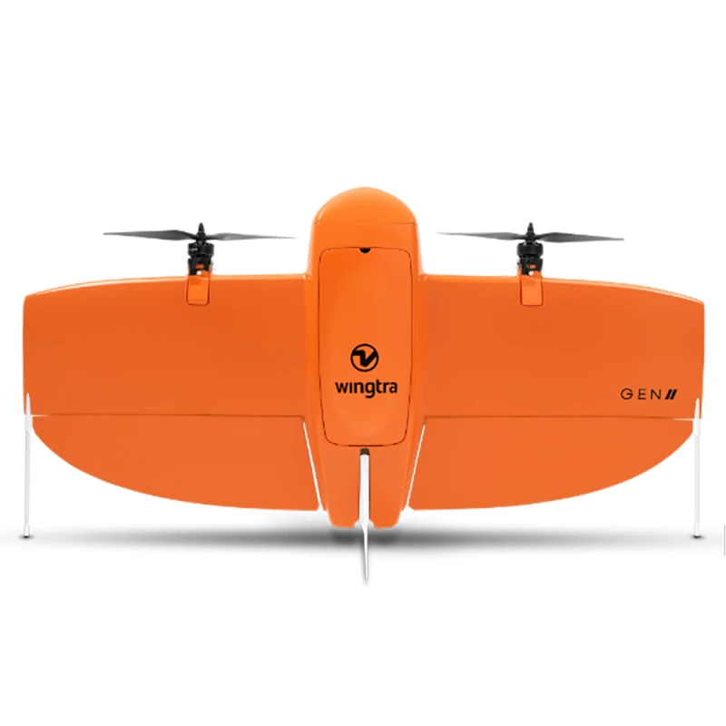
High-resolution aerial acquisition via advanced drone platforms — dense point clouds, LiDAR-grade accuracy and photogrammetric outputs. Deliverables include orthomosaics, DSM, DTM and contour maps, georeferenced and AI-ready.
Drone · Photogrammetry · LiDAR
02
Land & Detail Surveying
Comprehensive ground-based topographic, cadastral and boundary surveys. Methodology includes Ground Control Points (GCPs) and Primary Control Networks for geodetic accuracy aligned to national coordinate systems.
GNSS · Total Station · GCPs
03
3D Laser Scanning & Mobile Mapping
High-density 3D point-cloud capture using terrestrial LiDAR and Mobile Mapping Systems (MMS) — exterior corridors, urban infrastructure and confined interiors at millimetre precision. Outputs compatible with BIM, GIS and Digital Twin.
TLS · MMS · Point Cloud
04
BIM Integration & Spatial Modeling
Conversion of survey data into intelligent Building Information Models — supporting design coordination, clash detection and asset lifecycle management across infrastructure and facility projects.
BIM · Scan-to-BIM
05
QA/QC for Surveying Works
Independent quality assurance and control across all surveying disciplines — ensuring data integrity, positional accuracy and full compliance with client specifications and Saudi standards.
QA/QC
06
Geospatial Consultation
Strategic advisory supporting survey planning, methodology selection, data standardization and spatial data governance — from project inception through final delivery.
Advisory · Data Governance
Our Work
Real footage from our projects
Clips from projects delivered by the Precision Geomatics team across the Kingdom.
3D scan of a heritage sitePrecise digital documentation of heritage sites with aerial imaging and laser scanning.3D city modelA realistic 3D model built from drone aerial imagery.From point cloud to BIMLaser scanning of an industrial facility converted into a building information model.
We are committed to understanding your requirements and crafting a tailored solution that aligns with your goals. Enter your details and someone from our team will reach out to find a time to connect with you.