Where our capabilities transcend traditional geospatial services — harnessing AI, GeoAI and Digital Twin technologies to create living, intelligent models that predict what happens next.
7 specialized services delivered by a Saudi team with more than 25 years of combined technical expertise for government, semi-government and major national projects.
01
Digital Twin Development
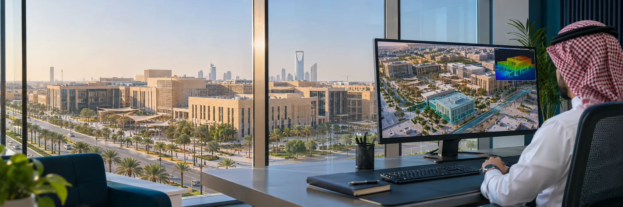
Dynamic, data-rich digital replicas of cities, infrastructure networks and assets — integrating survey data, LiDAR, BIM and real-time sensor feeds into one intelligent platform.
Digital Twin
02
Generative Urban Planning & Simulation
AI-driven urban modeling and generative design evaluating multiple development scenarios — optimizing land use, mobility, density and public space toward Vision 2030 goals.
Generative Design
03
Climate Change & Environmental Intelligence
Spatial modeling and predictive analytics for climate risk, flood simulation, heat-island mapping and environmental change monitoring — enabling resilient infrastructure.
Climate · Flood Modeling
04
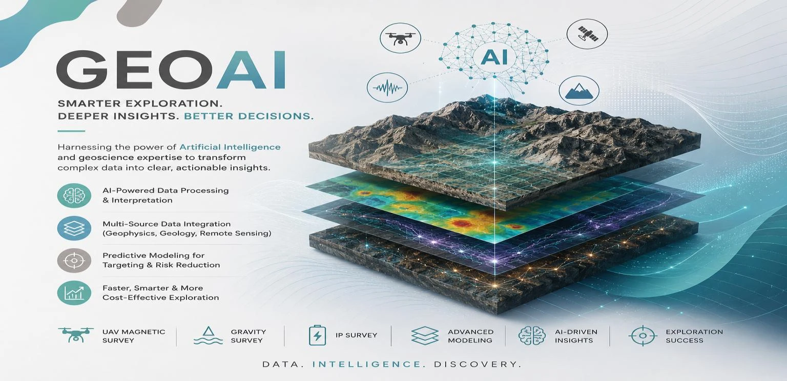
GeoAI & Intelligent Spatial Analysis
Machine and deep learning applied to geospatial data for automated feature extraction, change detection, anomaly identification and pattern recognition across imagery, LiDAR and GPR.
GeoAI · Deep Learning
05
Predictive Analytics & Early Warning
AI-powered models for infrastructure condition monitoring, maintenance forecasting and risk early warning — reducing operational costs and preventing failures before they occur.
Predictive Analytics
06
Spatial Dashboards & Decision Intelligence
Interactive, real-time geospatial dashboards and command-and-control platforms consolidating multi-source data into a single operational view for faster, evidence-based decisions.
Command & Control
07
Smart Infrastructure Monitoring
Continuous AI-driven monitoring of roads, utilities and urban facilities — using drone data, satellite imagery and sensor integration to track condition, detect anomalies and trigger maintenance workflows automatically.
Smart Monitoring
Our Work
Real footage from our projects
Clips from projects delivered by the Precision Geomatics team across the Kingdom.
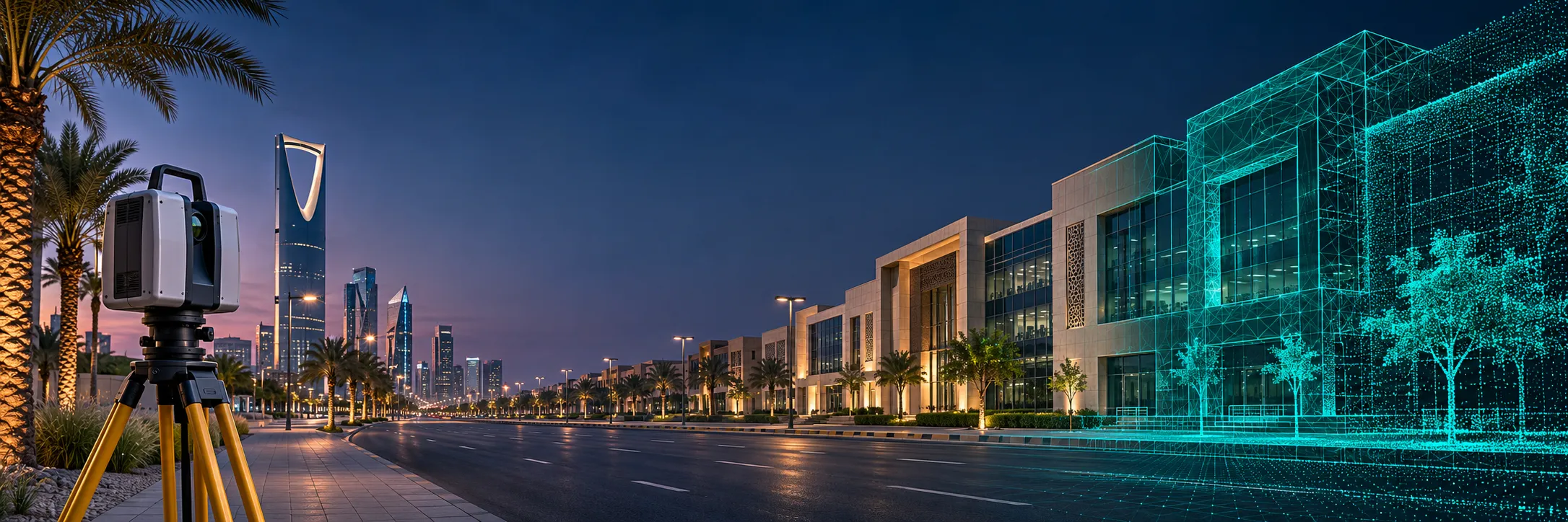
Infrastructure network digital twinA living model combining buildings, roads and utilities in one platform.A base city model for the Digital TwinA realistic 3D model ready for analysis and simulation.From reality to digital modelLaser scanning turned into a BIM model for asset lifecycle management.
We are committed to understanding your requirements and crafting a tailored solution that aligns with your goals. Enter your details and someone from our team will reach out to find a time to connect with you.